
Walk a Titusville Street Record
A reliable street search begins with the land record, not a claim about who sleeps at an address. The Brevard County Property Appraiser ties the house number to a parcel, an assessed owner, a mailing destination, and a legal description. From there, the Clerk's recorded instruments can show how the interest reached that owner. Permits, voter data, and directories add other kinds of evidence, each with its own limits.
- Enter the site address in the BCPAO Property Search. Save the parcel ID, legal description, owner name, mailing address, subdivision, and sale reference.
- Open BCPAO MapView. Click the subject lot, then move along both sides of the street to check nearby parcel boundaries and municipal layers.
- Take the current deed reference into the Clerk's Official Records index. Search the present owner as grantee, then trace each seller back as an earlier grantee.
- Check Titusville permits and code records by address. Use BS&A for recent permits and the Building Department request route for older files.
- Add releasable voter-extract entries or a verified reverse-directory volume. Treat each as supporting evidence, not a complete roll of residents.
This chain keeps identity and geography separate. A person can own a parcel without occupying it. A resident can occupy a Titusville home without appearing on its deed. The street directory becomes useful when each name remains attached to the exact record that supplied it.
Browse Titusville Streets by Range
BCPAO's Range mode is the strongest official way to build a parcel list for part of a Titusville street. The From, To, and Street Name fields are required. Direction, street type, suffix, unit, city, and ZIP can narrow the set. Results support column selection, page-size controls, and CSV or XLSX export. That makes a stated number range repeatable, unlike a vague scan around a map.
| BCPAO field | How to use it | Search caution |
|---|---|---|
| From / To | Set the first and last house numbers | Both are required in Range mode |
| Street Name | Enter the core street name | Try without direction or suffix if no match |
| Direction / Type | Narrow N, S, E, W and road form | Titusville has varied historic naming |
| City / ZIP | Limit assigned site addresses | Postal Titusville does not prove city limits |
| Export controls | Select columns, then save CSV or XLSX | The export inventories parcels, not households |
The range result is an owner-and-parcel inventory. Renters, relatives, children, and other household members normally do not appear. It is still much more precise than a commercial address list because the query, number interval, roll data, and parcel IDs can be checked again.
Note: A ZIP-only BCPAO query returns assigned site-address parcels in that ZIP, but it does not define Titusville's incorporated boundary.
Titusville Street Directory Sources
Each address-keyed source contributes a different slice of a Titusville street. The Property Appraiser supplies the current assessment layer. MapView supplies parcel geography. The Clerk connects named parties to recorded interests, while the city records physical work and code activity. Florida's voter extract can add nonprotected adult registrations, and old reverse directories can recover a named subscriber for earlier years.
| Street source | Keeper | What it adds | Access route |
|---|---|---|---|
| Property roll | Brevard Property Appraiser | Owner, site, mail, legal description, exemption, sales | Free Property Search |
| Parcel map | Brevard Property Appraiser | Lot shape, nearby parcels, aerial and boundary context | Free MapView |
| Deeds and plats | Brevard Clerk | Grantor, grantee, transfer record, lot and plat continuity | Online from 1981; counter or request earlier |
| Permits and code | City of Titusville | Dated work, applicant or responsible party where public | BS&A from 2012; email request before 2012 |
| Voter data | Florida Division of Elections | Releasable adult registration address fields | Monthly extract by disk request |
| Reverse directories | Libraries and archives | Historic address-to-subscriber or occupant entry | Catalog, branch, microfilm, or database |
No row establishes every resident. A permit names people tied to work, not continuous occupants. A deed names parties to an interest. The voter extract excludes unregistered and protected people. Clear labels prevent a Titusville street directory result from being overstated.
Titusville Situs and Mailing Clues
BCPAO separates the situs, or physical site, from the owner's mailing address. A matching mailing and site address may support owner occupancy, especially when a homestead exemption also appears. A different mailing address can point to an absentee owner, a trust contact, or another delivery preference. Neither pattern proves who belongs to the household.
The difference is especially useful in Titusville because the postal community, E911 site address, and municipal jurisdiction can disagree without any error. County staff assign E911 locations, USPS routes mail, and the Property Appraiser records taxing districts. When a Titusville-looking address falls outside the city, county permits may be the proper follow-up instead of the city Building Department.
- Parcel
- A mapped unit of land identified by a county account or parcel number.
- Situs address
- The assigned physical location of the parcel or improvement, distinct from the owner's mail destination.
- Plat
- A recorded map that defines subdivision lots, blocks, roads, and related legal geography.
- Criss-cross directory
- A directory arranged by street and house number rather than only by a person's surname.
Map Titusville Street Parcels
MapView turns a single address into block context. Search by address, parcel, or owner, zoom to the result, and click parcel polygons on each side and across the road. The parcel detail link then provides the owner, mail and site fields, exemption status, legal description, and recorded references available for that lot. Aerial, road, subdivision, parcel, and municipal or taxing overlays can help explain why adjacent properties use different custodians.
The Measure tool records distance but does not generate a people radius. Map boundaries are reference data, not a survey. For a repeatable street result, pair map clicks with BCPAO Range mode and state the number interval searched.
The Brevard parcel map shows the official visual starting point for a Titusville street directory search.
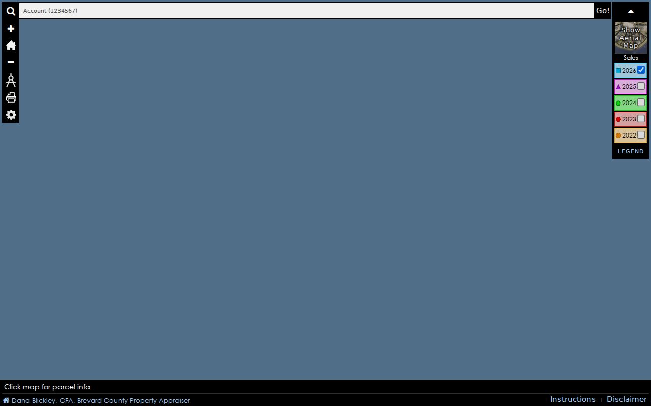
Use the displayed parcel geometry to choose lots, then open their parcel cards before recording any owner name.
Follow Titusville Street Deeds
Convert the street address to a legal identity before using recorded documents. Save the subdivision, lot, block, legal text, and any book/page or instrument reference on the parcel card. In Acclaim, search the present owner as a grantee. Open the likely vesting deed, record its grantor, then search that grantor as a grantee in an earlier period. The repeated legal description is the continuity check when a road label or house number changes.
The Brevard Official Records name search offers Party Type, Name, Date Range, Document Type, From and To dates, plus book filters for Official Records, plats, road plats, surveys, condominiums, and marriage licenses.
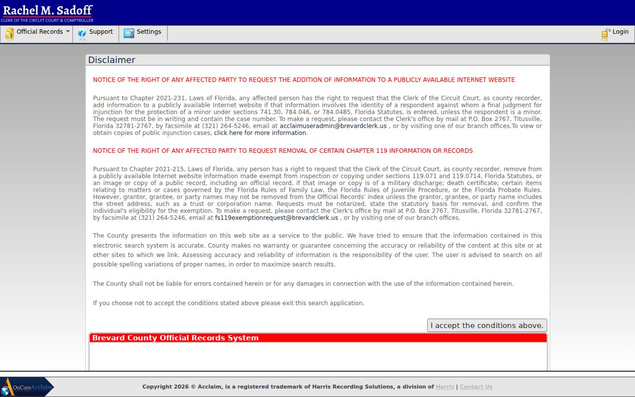
The result can supply party roles, recording date, instrument number, book and page, and indexed legal text. Consideration is not always the market sale price.
The free web index and eligible images start on January 1, 1981. Earlier deeds are not necessarily lost. Continue through Clerk books, indexes, microfilm, a branch visit, NextRequest, PublicRecordsRequests@brevardclerk.us, 321-637-2004, or mail to P.O. Box 999, Titusville, FL 32781-0999. Ordinary copies cost $1 per page, and certification adds $2 per document.
Titusville Street Permit Evidence
Titusville building records have a clear access seam. Permits from 2012 forward are searchable through BS&A. Earlier permits must be requested from buildingpermits@titusville.com. Useful fields can include a permit number, date, tax ID, project address and ZIP, owner, contact, contractor, work description, zoning, flood zone, and project type. These facts date activity at a site but do not prove that the named person lived there.
The Titusville Building Department describes permit coverage and the older-record route.
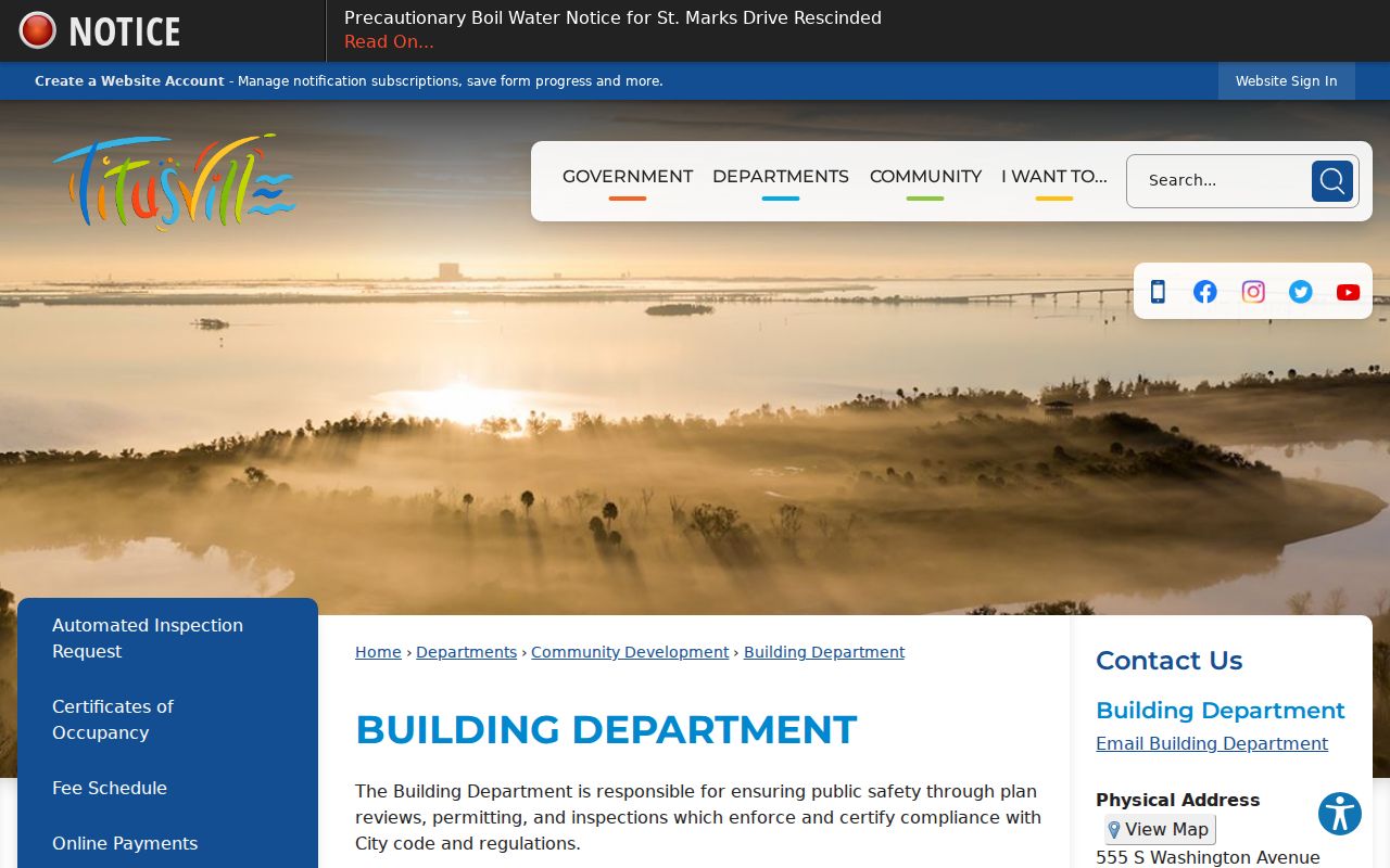
The department can be reached at 321-567-3760, and its office is at 555 South Washington Avenue.
For newer files, the Titusville BS&A portal accepts address, name, parcel number, permit number, and available date, status, or type controls.
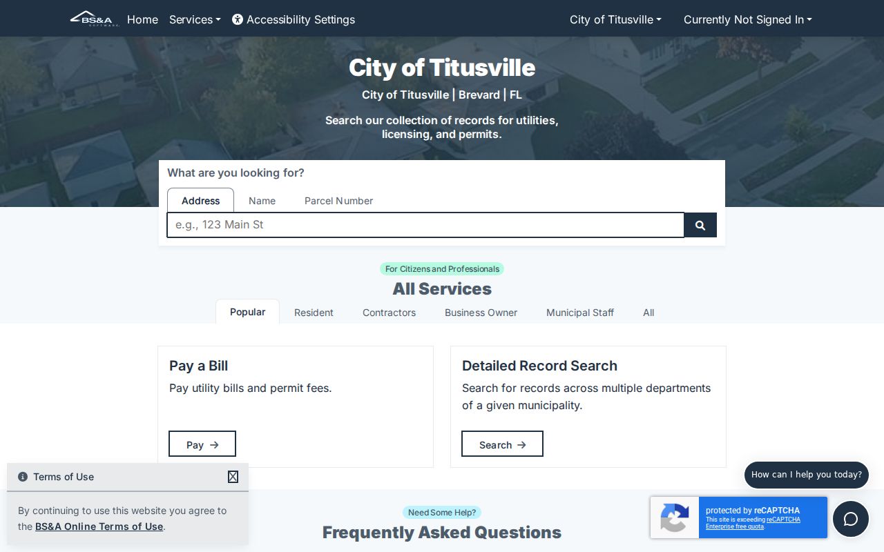
Search results may disclose status and a project description. Application functions can require an account or city-issued PIN, but public search is the street directory channel.
Titusville Streets Across Time
Older address work needs more than today's spelling. Titusville's historic grid uses directional elements and varied road forms, and no complete official street-renumbering ledger was located. Test N, S, E, and W, remove a street suffix when a strict search fails, and use the legal description when the address disappears. Road plats, surveys, annexation instruments, city ordinances, directories, and Sanborn maps can bridge a change.
The city's historic designation records connect named properties with addresses and preservation material.
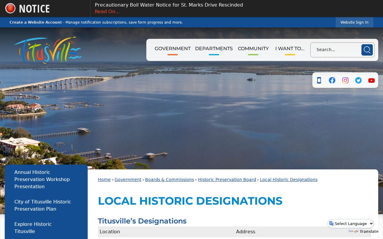
Historic labels give context, while the parcel and recorded plat remain the stronger way to preserve land identity.
The county itself changed names: it was created as St. Lucie County in 1844 and renamed Brevard County in 1855. Catalog searches for very early Titusville-area material should test both names. For printed address-to-name sources, consult the Titusville city directory collections rather than assuming every year survives.
Titusville Street Voter Evidence
The county's individualized registration form asks for first name, last name, and date of birth. It confirms one matched voter and polling details; it cannot browse a street. The legitimate street-scale route is Florida's monthly voter extract, updated with a new layout in May 2026. It is supplied by disk through mail or pickup, not by email.
Releasable fields can include name, residence and mailing addresses, ZIP, registration status and date, party, precinct, districts, and participation history. Participation reports whether and how a person took part, never ballot choices. Protected voters and specified confidential fields are omitted, and unregistered people will not appear. Filtered Titusville strings still need a parcel or municipal-boundary check because postal labels reach beyond city limits.
Limits of Titusville Street Lookups
A public owner roll is not an occupant roll. Deeds omit residents with no recorded interest. Permits show project contacts, not a continuous household. Reverse directories can omit children, lodgers, unlisted phones, and many apartment occupants. Protected addresses, utility accounts, delivery data, and driver records remain unavailable through these public routes.
Lawful use. Use Titusville address records only for lawful personal research. Never use a street lookup to stalk, harass, intimidate, or harm anyone.
State and county systems also change at different speeds. The property roll is an annual assessment snapshot, a newly recorded deed can precede its update, and a voter registration change can take time. Record the source and date beside every name. For a single modern person rather than a whole street, use the Titusville resident lookup workflow.
Note: Trusts, estates, entities, recent transfers, and privacy suppressions can all make a correct parcel result look incomplete.