
Titusville Neighbor Sources by Block
A block lookup answers several narrow questions. MapView shows parcel geometry. The Property Appraiser ties each selected lot to its assessment card. Street Range mode creates a repeatable parcel set, while deeds and plats explain ownership and subdivision history. Permits, voter data, and public organization records add different evidence. Their limits are as important as their names.
| Block source | What it shows nearby | How to access it |
|---|---|---|
| BCPAO MapView | Touching, rear, and opposite parcels with detail links | Free visual click-through |
| BCPAO Street Range | Addressed parcels and assessed owners in a stated number interval | Free search with CSV or XLSX export |
| Florida voter extract | Nonprotected adult registrations filterable by street and ZIP | Monthly disk request by mail or pickup |
| Titusville permits and code | Dated activity and named parties where public | BS&A from 2012; request older permits |
| Brevard plats and deeds | Subdivision layout, owners, legal descriptions, and transfers | Clerk index from 1981; counter or request earlier |
| Civic and association sources | Boundaries and voluntarily public officers or contacts | City pages, filings, agendas, and public notices |
An owner can live elsewhere. A resident may have no recorded interest. Protected voters, children, and unregistered adults do not form part of a public block roll. Those gaps mean a list of Titusville neighbors can be useful for civic or property research without ever being complete.
Map a Titusville Neighbor Block
BCPAO MapView has no public buffer or radius people-search control. Its defensible method is manual adjacency. Start at one parcel, define which lots count, and preserve the account number for every selection. This makes the boundary of the work visible and prevents a loose map view from becoming an unsupported claim about proximity.
- Search the known address in BCPAO MapView and open the subject parcel.
- Record its account or parcel ID, site address, legal description, and subdivision.
- Click the side, rear, and opposite parcels. Open Details for each one.
- Copy the assessed owner, owner mailing address, parcel situs, exemption clue, legal description, and available deed reference.
- Use the Measure tool only to document distance. It does not identify people.
- Run BCPAO Range mode for a defined house-number interval and compare the export with the map clicks.
A matching owner mailing address and situs, together with a homestead exemption, can support an owner-occupancy inference. It still does not name the full household. For a whole named road rather than the immediate block, use the Titusville street directory workflow.
Export a Titusville Neighbor Range
The Property Appraiser's Range mode requires From, To, and Street Name. Direction, street type, suffix, unit, city, and ZIP narrow the result. Column controls and CSV or XLSX export turn a chosen number interval into a reproducible inventory. That is stronger than selecting a few convenient lots from the screen.
State the interval and date beside the saved file. Parcel data is an annual roll snapshot, so later deeds may not yet appear. Site and mailing addresses also answer different questions. The situs is the land's assigned physical location; the mailing address is where the owner receives notices. A difference can signal an absentee owner or merely another delivery choice.
Note: Postal Titusville and incorporated Titusville do not have identical boundaries, so confirm the taxing district and municipal layer for fringe blocks.
Read Titusville Neighbor Parcel Cards
Each parcel card can show the account number, assessed owner, owner mailing address, property address, legal description, taxing district, land use, acreage, subdivision, values, exemptions, sales history, building traits, photos, sketches, and a map link. Capture only fields relevant to the block question. A tax roll is assessment evidence, not a title opinion or resident roster.
Trusts, estates, companies, recent transfers, and privacy suppression can complicate an apparently simple owner line. When the ownership trail matters, take the book/page, instrument, sales date, or legal description into the Brevard Clerk's Official Records index. Searchable deeds, plats, road plats, surveys, easements, and annexation records can explain boundaries or address changes.
- Adjacent parcel
- A lot sharing a boundary with the subject, identified by map geometry rather than a guessed radius.
- Situs
- The physical property location, separate from an owner's mailing destination.
- Homestead clue
- An exemption that can support primary-residence research but does not identify everyone present.
- Legal description
- The lot, block, subdivision, or metes-and-bounds identity that can survive a changed street label.
Titusville Neighbor Voter Evidence
The Brevard individualized voter lookup asks for first name, last name, and date of birth. It verifies one registration and polling details, but it cannot browse a Titusville block. Street-level analysis instead uses Florida's monthly voter extract. The state updated its extract layout in May 2026 and supplies the file on disk by mail or pickup, not by email.
The Florida voter extract request is the official access channel for lawful street or ZIP analysis.
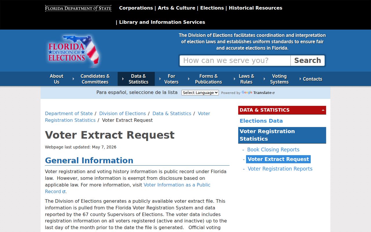
The request screen leads to the statewide file and layout, while BCPAO and municipal layers are still needed to test whether filtered postal addresses sit inside Titusville.
Releasable data may include adult name, residence and mailing address, party, status, registration date, precinct, district, and participation history. Participation shows the election and method, never a person's choices. Protected voters and confidential fields are omitted. The file also excludes anyone who is not registered.
Titusville Community Records Stay Public
No authoritative citywide directory of Titusville neighborhood associations, boundaries, and member-directory status was found. Do not fill that gap with an assumed HOA roster. Recorded declarations can identify the organization tied to a subdivision, and Florida corporate filings can verify a formal association's name, registered agent, public officers or managers, filing dates, and business address.
| Community source | Appropriate use | Boundary |
|---|---|---|
| Recorded declarations | Identify an association and governed subdivision | Does not prove current household membership |
| Sunbiz filings | Confirm entity identity and public agent or officer details | Business contact is not a residence claim |
| Public agendas and newsletters | Find voluntarily named board contacts and civic issues | Do not infer a private roster |
| Church, club, or watch material | Use public officer or event information | Member lists remain private unless published |
Corridor and planning pages can help locate Indian River City, U.S. 1, Riveredge, and South Street planning geography. They describe civic planning areas, not a list of Titusville neighbors. A public board contact can be used for a community question without collecting names of private members.
Titusville Block Activity Records
Permits and code cases can add dates and activity to selected addresses. Titusville permits from 2012 forward are in BS&A. Earlier permit files go through the Building Department email request route. Public fields may identify the project address, work type, permit status, applicant, owner, or contractor involved at the time. None establishes continuous occupancy.
Code records can identify an allegation, site, responsible party, inspection, or resolution where public. Since July 1, 2021, chapter 162 complaints generally require a complainant name and address for verification rather than anonymous reporting. A complaint does not prove a violation or identify every person on the parcel.
If an online result fails, contact the City Clerk through the Titusville public-record request channel. Describe an existing record by address, department, type, and date range. Ask for electronic delivery and an estimate before reproduction. Chapter 119 does not require the city to create a new neighbor list.
Official Titusville Neighbor Evidence
Commercial neighbor tools compile public, licensed, and marketing data. They may merge same-name people, carry stale addresses, omit sources, or treat relatives as present residents. Official records are narrower, but each has a named custodian, known field, date, and correction channel.
| Question | Official record route | Commercial category limit |
|---|---|---|
| Which lots touch? | BCPAO MapView geometry | Distance labels may lack parcel support |
| Who is assessed? | Dated Property Appraiser roll | Compiled owner data may be stale |
| Who holds title? | Recorded deed and legal description | Source and transfer sequence may be absent |
| Which adults registered? | Lawfully obtained voter extract | Protected and unregistered people remain missing |
| Who represents an association? | Recorded declaration and current state filing | Private member claims may be unverified |
The correct response to disagreement is to check the custodian, not blend the lists. BCPAO handles roll corrections. The Clerk handles indexing or recorded-image issues. Elections staff handle registration data. Removing a compiled listing does not erase an official source.
Titusville Neighbors in State Records
A name from a parcel or public organization record may need a cautious second check. Florida Treasure Hunt can show an old reported city or holder clue in unclaimed-property data. It is free, and no finder fee is required. The result can be stale and should never be converted into a present address claim.
The Florida Treasure Hunt search provides a state-held name index that may help distinguish a Titusville neighbor from a same-name person.
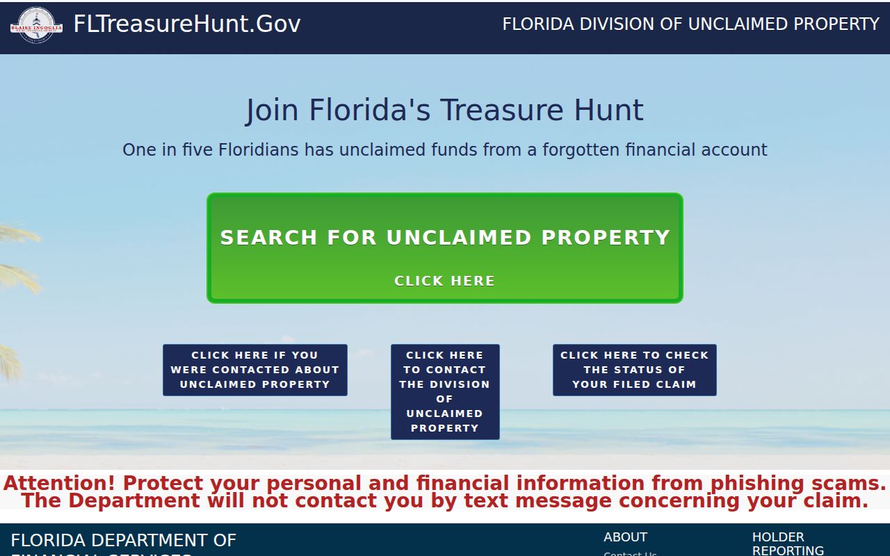
The listed city or reporting holder is a clue to check against dated parcel or filing evidence, not proof of who lives on the block now.
Federal records require the same restraint. Brevard County lies in the Middle District of Florida, but a federal court filing concerns a case role, not neighborhood residency. The Middle District of Florida identifies the official court serving the area.
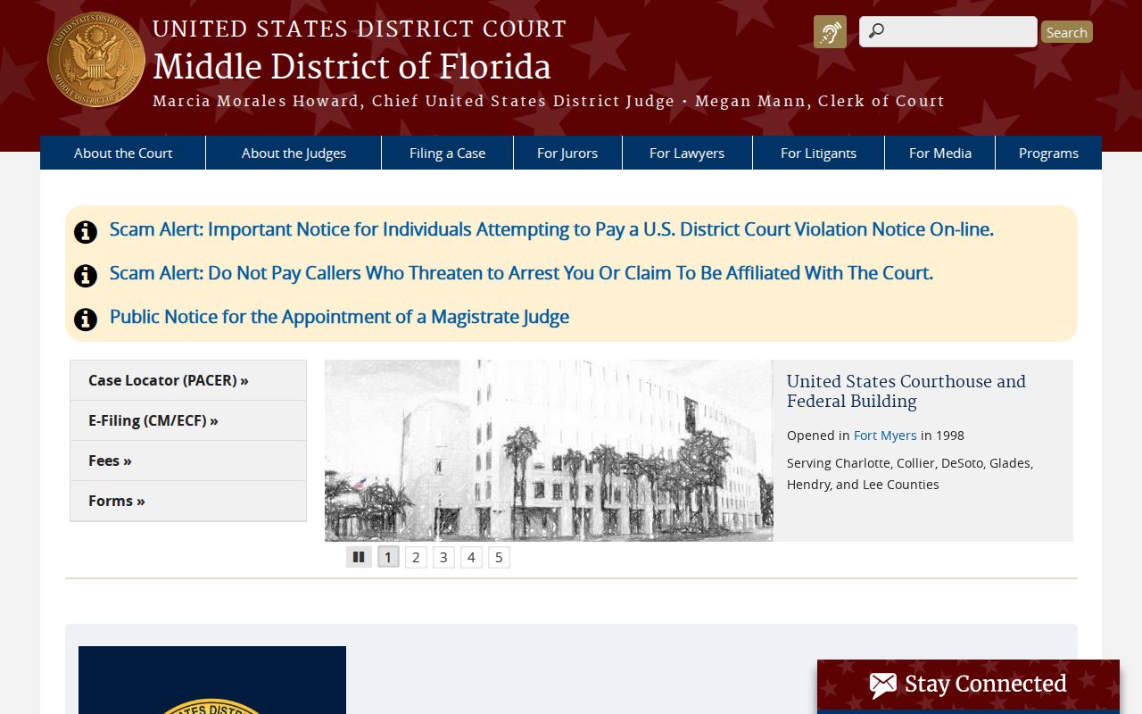
Use the court site to confirm jurisdiction and official access routes before relying on any case reference.
PACER is the federal case locator and document system. It requires an account, charges $0.10 per page with a $3 document cap, and waives fees when quarterly use is $30 or less.
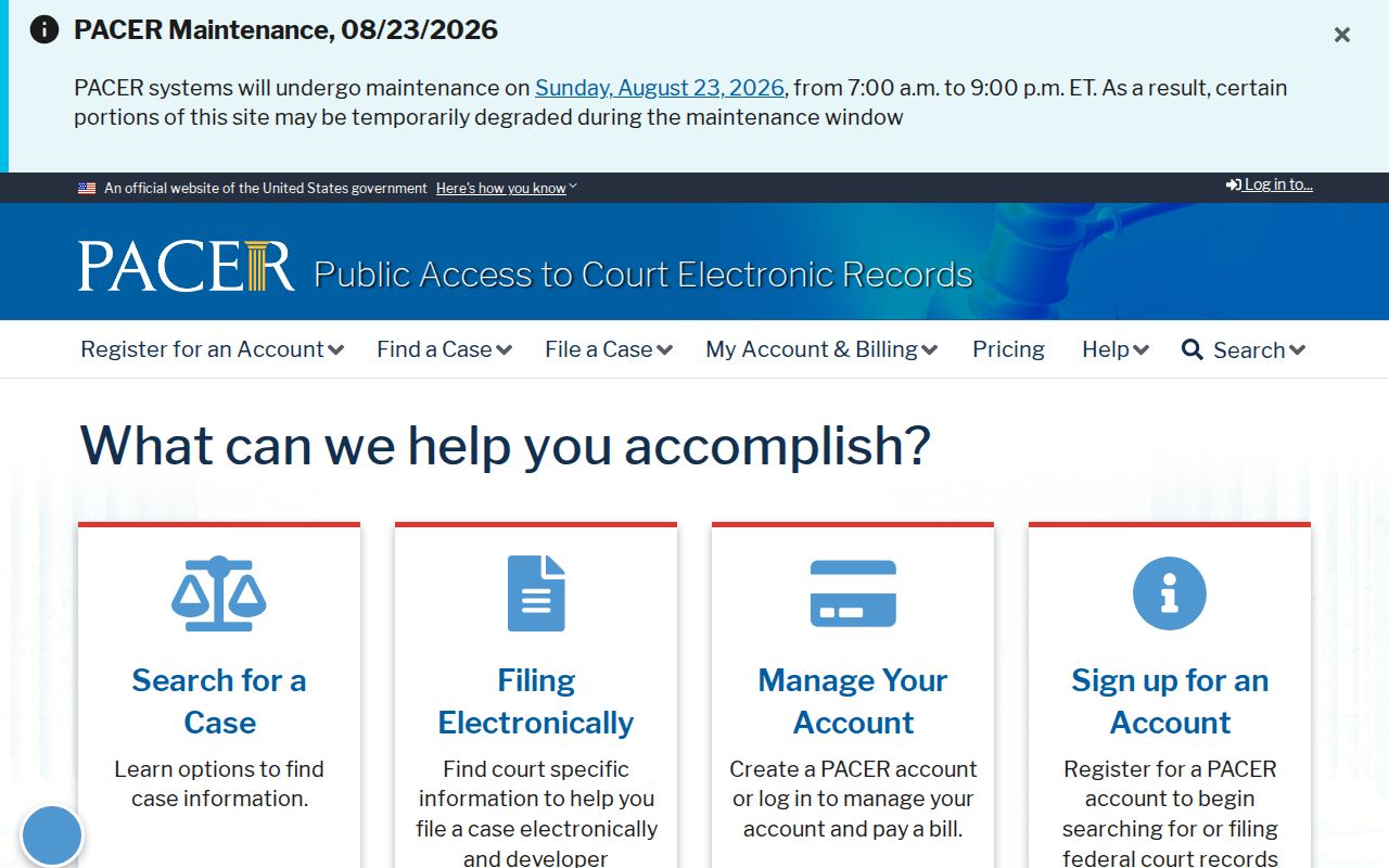
A docket can confirm a named party, filing, date, and role. Match more than a common name and city before connecting it to any Titusville parcel.
Privacy for Titusville Neighbors
Tenants absent from a public filing, children, household members, protected voters, utility customers, delivery records, driver data, and private association membership stay outside the public block methods. Florida's Address Confidentiality Program uses a substitute mailing address for eligible survivors. Section 119.071 also protects specified officials and family data. A correct search can therefore return no residence.
Lawful use. Use Titusville neighbor records for lawful civic, family, property, or personal-safety research. Never watch, stalk, harass, intimidate, or harm another person.
The Florida Digital Bill of Rights gives qualifying consumers rights involving some covered businesses, but it is not a universal removal law. For a compiled listing, use that provider's privacy route, submit only the needed proof, keep the confirmation, and check aliases later. Government source corrections still belong with the custodian.
Record only what the task needs. Keep a source date beside each fact, label owner versus occupant, and stop where a protected field begins. That is the sound basis for learning about Titusville neighbors without pretending the block has a public census.
Note: A missing public address may reflect lawful protection, not bad data or evidence that a person has left Titusville.